The Boundary Blunder That Almost Started America's Dumbest War
When Maps Go Wrong, States Go to War
Imagine starting a war because nobody could agree on where to draw a line on a map. That's exactly what happened in 1838 when Ohio and Michigan came dangerously close to shooting at each other over a stretch of disputed territory that most people wouldn't have wanted anyway.
The whole mess started decades earlier with the Northwest Ordinance of 1787, which promised Ohio statehood once its population hit 60,000. The catch? The ordinance described Ohio's northern border using a line that ran due east from the southern tip of Lake Michigan. Simple enough, except nobody bothered to check if that line actually made geographical sense.
The Survey That Changed Everything
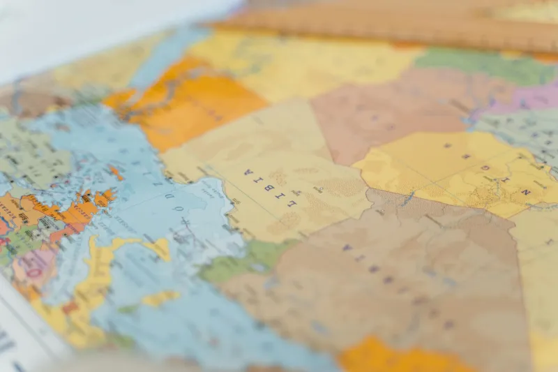
When surveyors finally got around to marking the actual boundary in the 1830s, they discovered a problem that would make any cartographer break into a cold sweat. The line described in the ordinance didn't just clip a corner of Michigan Territory—it sliced right through what would become the city of Toledo, along with a 468-square-mile strip of prime real estate.
This wasn't just any random patch of wilderness. Toledo sat at the mouth of the Maumee River, positioned to become a major shipping hub for goods flowing between the Great Lakes and the Ohio River. Whoever controlled Toledo would control a fortune in commerce.
Ohio said the territory was rightfully theirs according to the original ordinance. Michigan Territory's governor, Stevens Mason, had other ideas. At just 22 years old, Mason was young enough to think starting a border war was a reasonable solution to a surveying error.
When Politicians Send in the Militia
In early 1835, both sides began mobilizing troops. Ohio Governor Robert Lucas called up 10,000 militiamen and positioned them along the disputed border. Not to be outdone, young Governor Mason assembled 1,000 Michigan militiamen and marched them toward Toledo.
For several tense months, armed forces from both states glared at each other across an invisible line on the map. The situation was so absurd that newspapers began calling it the "Toledo War," though it was less a war than an extended staring contest with muskets.
The federal government found itself in an impossible position. President Andrew Jackson needed Ohio's electoral votes in the upcoming election, but he couldn't exactly let states start shooting at each other over boundary disputes.
The Battle That Wasn't (Mostly)
The closest thing to actual combat occurred on April 26, 1835, when Michigan Deputy Sheriff Joseph Wood tried to arrest a Toledo tax collector named Benjamin Harris. Ohio militiaman Fulton Harris (Benjamin's brother) intervened, and in the scuffle, Wood ended up stabbed in the thigh with a penknife.
That's it. One stab wound with a small knife. The only casualty of the "Toledo War" was a deputy sheriff who survived to tell the tale.
But even this minor bloodshed was enough to alarm Washington. Federal mediators rushed in to prevent the situation from escalating into actual warfare between American states.
The Deal That Made Everyone Happy (Sort Of)
Congress eventually worked out a compromise that was stranger than the original dispute. Ohio could keep Toledo and the disputed strip, but only if Michigan gave up its statehood dreams.
Michigan's response was predictable: absolutely not.
So Congress sweetened the deal. Michigan could become a state immediately, but instead of the Toledo Strip, they'd get compensation in the form of the entire Upper Peninsula—a vast wilderness that most people assumed was worthless.
Michigan's territorial legislature rejected this offer. Twice.
Finally, President Jackson essentially forced Michigan's hand by threatening to withhold federal funds until they accepted the deal. A specially convened convention grudgingly agreed to the swap in December 1835.
The Twist That Nobody Saw Coming
Here's where the story gets truly bizarre: Michigan got the better deal.
The Upper Peninsula that everyone dismissed as frozen wasteland turned out to contain some of the richest iron and copper deposits in North America. Within decades, Michigan was mining millions of tons of ore that fueled America's industrial revolution.
Meanwhile, Toledo's importance as a shipping hub gradually diminished as railroads replaced river transport. Ohio got the city they fought for, but Michigan got mineral wealth that dwarfed anything Toledo could have generated.
The Legal Aftermath Nobody Talks About
The really strange part? The original surveying error was never officially corrected until the 1960s, when modern GPS technology finally allowed cartographers to definitively establish where the boundary should have been drawn according to the 1787 ordinance.
It turned out the surveyors had been right all along—the line really did run through Toledo. But by then, the city had been part of Ohio for over a century, and nobody was about to restart the Toledo War with satellite technology.
What It All Means
The Toledo War remains one of the strangest chapters in American history—a conflict that started with bad math, escalated into an armed standoff, produced exactly one minor injury, and ended with the "loser" accidentally becoming one of the richest states in the union.
It's a reminder that some of the most important moments in history happen not because of grand strategy or noble ideals, but because someone drew a line in the wrong place on a map and everyone was too stubborn to admit the mistake.